In 1845 when Charles Sturt faced neverending waves of sand rather than Australia’s mythical inland sea, prompting him to turn back east. Another 100 years passed before a white man crossed the Simpson Desert, and by 1976 only a handful of motoring pioneers had succeeded, the first being geologist Reg Sprigg followed by the ludicrously ubiquitous Leyland brothers.
In between, an eclectic array of geologists, surveyors, zoologists and archaeologists had dissected the desert in their search for oil, uranium, rare earths, fossils, aboriginal artefacts and endangered species, only to determine there was great amounts of bugger-all, except sand.
Despite Peter Gunner and Ralph Tice being in their 40s with relatively little dirtbike experience, local Suzuki dealer Viv Johnson and regular enduro competitor John Fidler had no problem persuading them that crossing the Simpson was ‘just another trail ride’. With his enduro experience, Fidler was the natural leader; besides, he owned a compass and had already doubled the size of the fuel tank on his Yamaha DT400.
They all realised fuel and water were the critical elements and each machine had to carry a total of 32 litres of fuel, 15 of water plus engine and two-stroke oil. Viv elected for a new Suzuki ‘Savage’ TS400; Ralph the same, but Gunner followed Fidler’s lead with a new Yamaha.
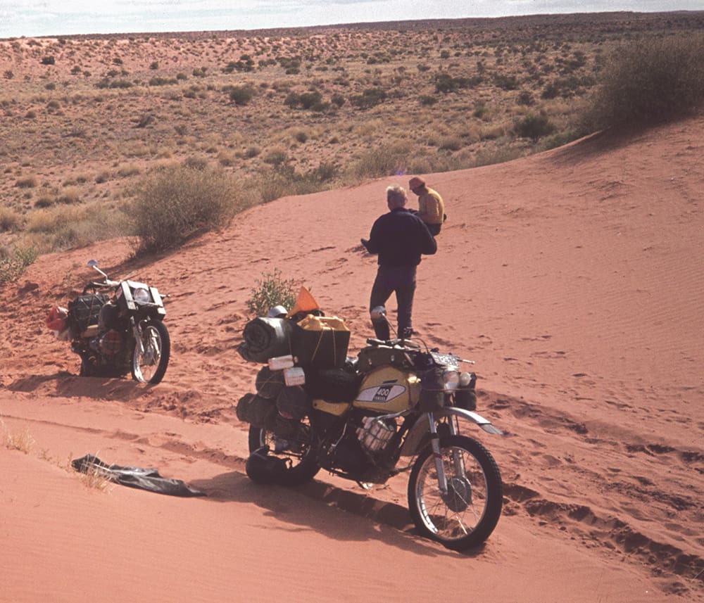
At Mount Dare, Rex Lowe informed them that outback icon Tom Kruse had clay-capped the sand ridges out as far as Purnie Bore but beyond that, to expect the worst; and that the WAA line might prove easier than the ‘French Line’ – all things being relative. The long chat with Rex, followed by the refreshing waters of Dalhousie Springs, ate into the day and an early camp at Purnie Bore seemed a wise move, considering the really hard yards still lay ahead.
Now half-way between Alice and Birdsville, there was little choice but to attack the sand ridges head-on, and they were glad of the respite when they turned south at Wonga Junction to the abandoned Mokari airstrip.
From here, the WAA Line ran dead east and proved hard yakka, particularly with the sun burning a hole between their aching shoulders. Eventually they reached the end of the WAA line, replenished their water supplies from the tanks at the abandoned aerodrome and settled in for the night.
Heading north by compass between the dunes was the only option, even though any evidence of past traffic had disappeared. They intersected what could only be the French Line and, turning east, they reached Lake Thomas. Despite the hard going across the sand ridges – now fewer in number but considerably higher and often requiring several traverses to conquer – they were now only a dozen clicks short of Poeppel Corner but 10 times that to Birdsville.
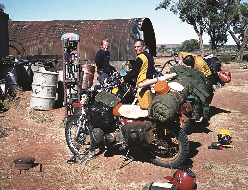
Arriving at Poeppel Corner early the next day, they agreed to head due east by compass. Following the French Line had proven worse than useless and they figured the QAA Line wouldn’t be much better.
They managed 35 kays – halfway to the dog fence – before calling it a day, out of energy and with only an emergency supply of water left. What Fidler did have deep in his swag was a bottle of brandy and three cans of Coke, a potent 50/50 mix.
“It probably wasn’t a good idea but I figured, one way or another, it was our last night out,” recalls John.
“And we probably got just a little ‘Brahms and Lizt’.”
This led to the great underpants race but fortunately/sadly, no one can be identified in the blurry photos.
Their hangovers didn’t make the following day any easier yet they quickly reached the dog fence and, shortly after, skirted the southern extremity of Big Red before confronting Lake Nappanerica – immediately spotting a chopper mustering cattle at the Alton Downs yards.
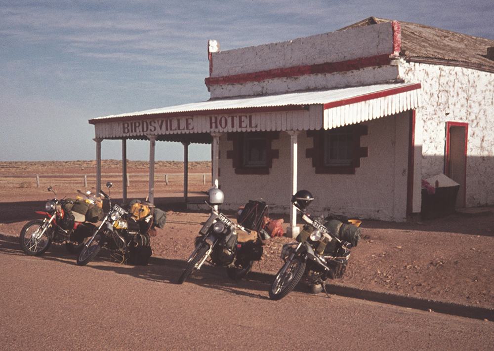
Now barely an hour short of Birdsville over fairly formed station tracks, their lack of water was forgotten. By sunset they’d settled at the bar for a happy hour they’ll never forget.
